ALKALINITY IN THE STERLING AREA
.A SHORT EXPLANATION OF SEEPAGE INTO STERLING AND AN EARLY MAP THAT PRECEDES IT
2/11/20261 min read
The canal experienced a great deal of water loss in seams through the lava between what is now Pingree and Spring Creek, with some areas requiring a week for puddling to be effective in stemming the seepage.10 The water that filtered through fissures would eventually reach what is now the Sterling area, rendering eleven thousand acres inarable. A proposal to reclaim it would be made in 1918, the task estimated to cost a quarter million dollars.11
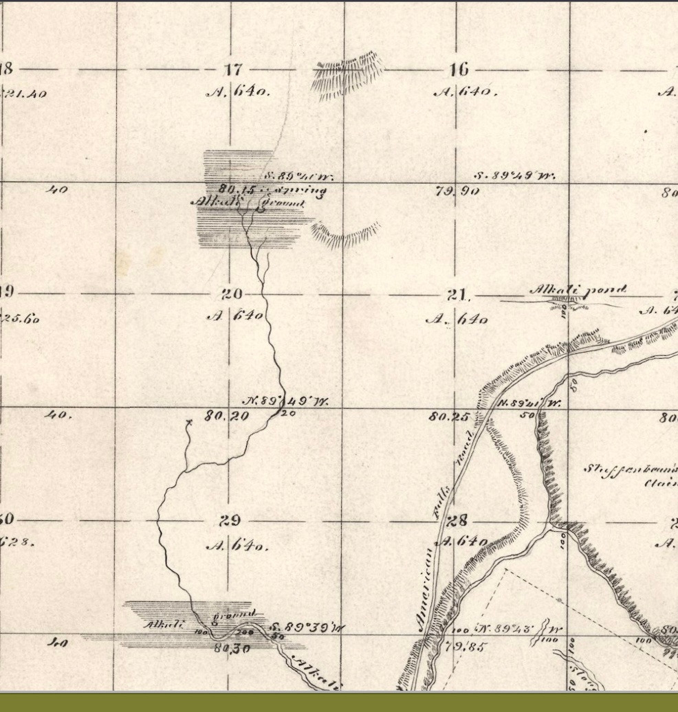
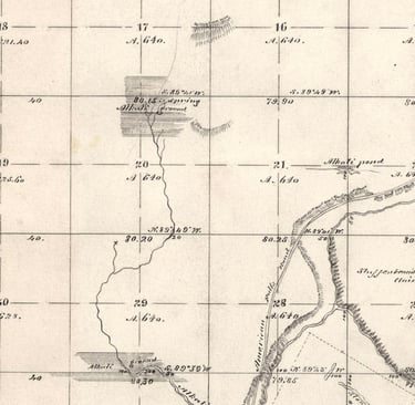
The area that the canal soured already showed strong alkaline tendencies long before the canal appeared, though. The shaded areas of the survey map above, made in 1888, show the already 'subby' areas: at what is now the Sterling townsite, south of the center of the labeled section 29, and three other areas north toward what is now State Highway 39.
map: https://glorecords.blm.gov/details/survey/default.aspx?dm_id=46420&sid=iq41eetp.tkj