The Site of the Highline Canal--a flumework, in part, coming off the People's Canal
A flume through the lavas
12/3/20251 min read
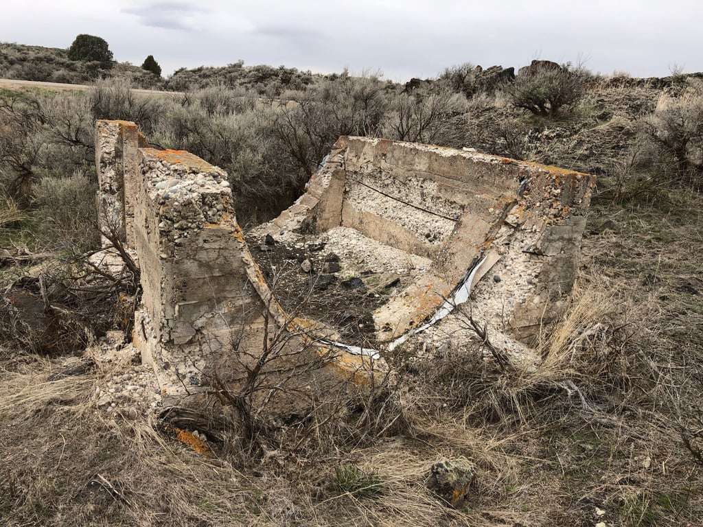
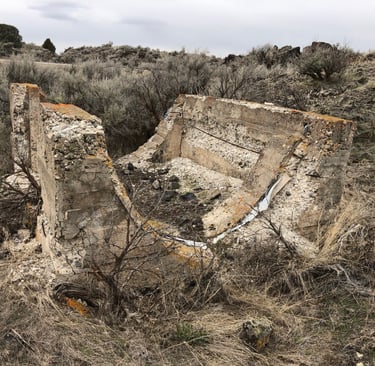
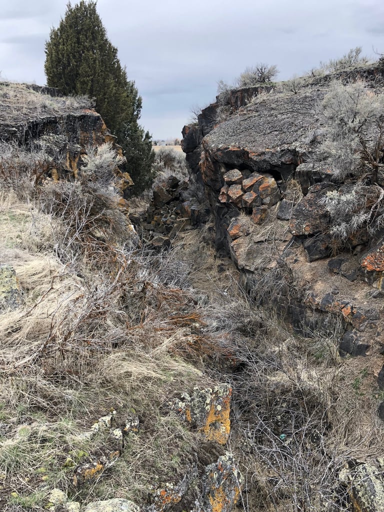
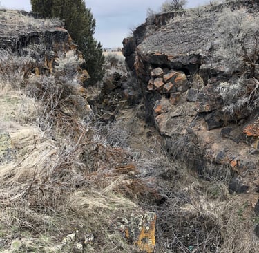
In the early 1910's, canalworks to cross the lavas to the west of the People's Canal included flumeworks of between one and three miles (reports vary). As you pass the Moreland turnoff on Highway 26 (going west), you'll come to a rock cut where the last section of the canal was blasted out. On the north side of the highway, a large cement check stands--probably moved from its original position.
To the north, the canal ran through the lavas, some say to Porterville where its water was diverted from the Peoples Canal. The canal ran 14' grade higher than the Peoples, enabling irrigation on thousands of acres of farmground. To the south, across Highway 26, you can walk along its length to where it emerged onto irrigable land.
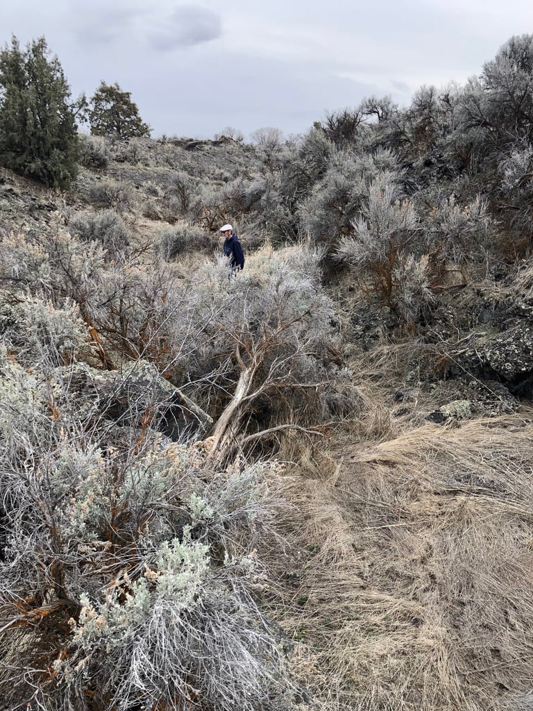
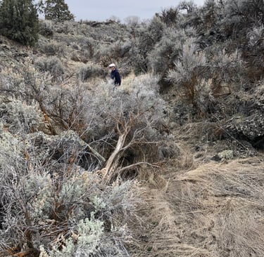
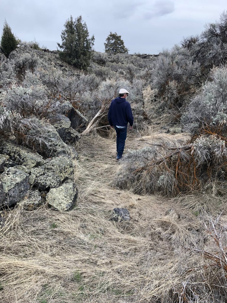
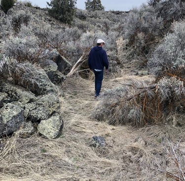
Not far from the highway, the canal line splits, one leg heading south and this cut going west (its conceivable that the concrete weir on the other side of the highway was here, in order to switch water one way or the other). A ditch remains on the north side of the highway, just west of the cut, that might have come from this cut.