West Side Flumes
The Canal through the lavas
12/20/20251 min read
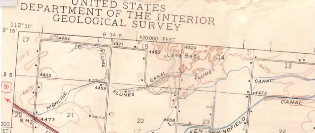
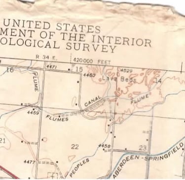
Above is a 1943 USGS map which shows the location of part of the West Side Canal flumes through the lavas northwest of Moreland. Compare to the recent map below for comparison.
The Canal through the lavas
12/20/20251 min read
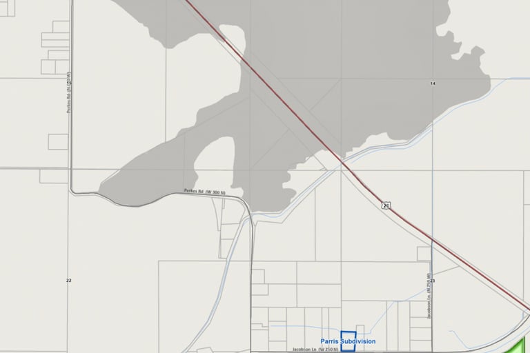
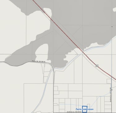
Above is a 1943 USGS map which shows the location of part of the West Side Canal flumes through the lavas northwest of Moreland. Compare to the recent map below for comparison.